Home
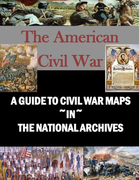
A Guide to Civil War Maps in the National Archives
Barnes and Noble
Loading Inventory...
A Guide to Civil War Maps in the National Archives in Franklin, TN
Current price: $14.95
Barnes and Noble
A Guide to Civil War Maps in the National Archives in Franklin, TN
Current price: $14.95
Loading Inventory...
Size: OS
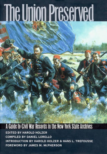
Civil War Maps in the National Archives lists the approximately 8,000 Civil War maps, charts, and plans in the Cartographic and Architectural Branch of the National Archives, the largest single body of cartographic records pertaining to the American Civil War. The records described in this guide are maps, plans, and charts containing information relating directly to Civil War operations and installations. Most of the material described dates from the war and was produced for use by the military forces or to accompany official reports. Many of the maps that are con temporary with the war do not deal specifically with military operations, but do provide information concerning the areas directly affected by the conflict. A number of postwar maps contain military information, usually prepared for historical purposes or in connection with official investigations of Civil War operations.Almost all of the Civil War maps in the National Archives are Federal maps, prepared by or for the Union forces or other agencies of the Federal Government. A few are commercially published maps that were acquired for use and annotated by personnel in Federal military or civilian offices. The Confederate maps described in this guide were, for the most part, captured by Union officers. Maps that are filed with Civil War correspondence, reports, and similar documents are not included here.
Civil War Maps in the National Archives lists the approximately 8,000 Civil War maps, charts, and plans in the Cartographic and Architectural Branch of the National Archives, the largest single body of cartographic records pertaining to the American Civil War. The records described in this guide are maps, plans, and charts containing information relating directly to Civil War operations and installations. Most of the material described dates from the war and was produced for use by the military forces or to accompany official reports. Many of the maps that are con temporary with the war do not deal specifically with military operations, but do provide information concerning the areas directly affected by the conflict. A number of postwar maps contain military information, usually prepared for historical purposes or in connection with official investigations of Civil War operations.Almost all of the Civil War maps in the National Archives are Federal maps, prepared by or for the Union forces or other agencies of the Federal Government. A few are commercially published maps that were acquired for use and annotated by personnel in Federal military or civilian offices. The Confederate maps described in this guide were, for the most part, captured by Union officers. Maps that are filed with Civil War correspondence, reports, and similar documents are not included here.