Home
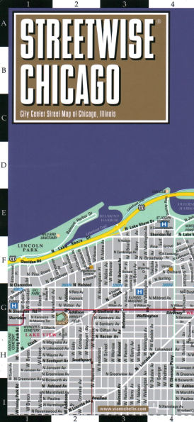
Austin Street Map
Barnes and Noble
Loading Inventory...

Austin Street Map in Franklin, TN
Current price: $9.99
Barnes and Noble
Austin Street Map in Franklin, TN
Current price: $9.99
Loading Inventory...
Size: OS
Rand McNally's folded map for Austin, Georgetown & Round Rock is a must-have for anyone traveling in and around this part of Texas, offering unbeatable accuracy and reliability at a great price. Our trusted cartography shows all Interstate, U.S., state, and county highways, along with clearly indicated parks, points of interest, airports, county boundaries, and streets. The easy-to-use legend and detailed index make for quick and easy location of destinations. You'll see why Rand McNally folded maps have been the trusted standard for years. - Regularly updated. - Full-color maps. - Clearly labeled Interstate, U.S., state, and county highways. - Indications of parks, points of interest, airports, county boundaries, schools, shopping malls, downtown & vicinity maps. - Easy-to-use legend. - Detailed & full street index. - Convenient folded size. Coverage Area Communities Included: Cedar Park, Leander*, Pflugerville*, Rollingwood, Round Rock*, Sunset Valley, West Lake Hills, and downtown enlargement.(*denotes partial coverage). Product Details: Measures 9.5' x 4' and folds out to 40' x 28'.
Rand McNally's folded map for Austin, Georgetown & Round Rock is a must-have for anyone traveling in and around this part of Texas, offering unbeatable accuracy and reliability at a great price. Our trusted cartography shows all Interstate, U.S., state, and county highways, along with clearly indicated parks, points of interest, airports, county boundaries, and streets. The easy-to-use legend and detailed index make for quick and easy location of destinations. You'll see why Rand McNally folded maps have been the trusted standard for years. - Regularly updated. - Full-color maps. - Clearly labeled Interstate, U.S., state, and county highways. - Indications of parks, points of interest, airports, county boundaries, schools, shopping malls, downtown & vicinity maps. - Easy-to-use legend. - Detailed & full street index. - Convenient folded size. Coverage Area Communities Included: Cedar Park, Leander*, Pflugerville*, Rollingwood, Round Rock*, Sunset Valley, West Lake Hills, and downtown enlargement.(*denotes partial coverage). Product Details: Measures 9.5' x 4' and folds out to 40' x 28'.