Home
Computing in Geographic Information Systems / Edition 1
Barnes and Noble
Loading Inventory...
Computing in Geographic Information Systems / Edition 1 in Franklin, TN
Current price: $86.99
Barnes and Noble
Computing in Geographic Information Systems / Edition 1 in Franklin, TN
Current price: $86.99
Loading Inventory...
Size: OS
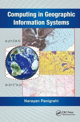
Capable of acquiring large volumes of data through sensors deployed in air, land, and sea, and making this information readily available in a continuous time frame, the science of geographical information system (GIS) is rapidly evolving. This popular information system is emerging as a platform for scientific visualization, simulation, and computation of spatio-temporal data. New computing techniques are being researched and implemented to match the increasing capability of modern-day computing platforms and easy availability of spatio-temporal data. This has led to the need for the design, analysis, development, and optimization of new algorithms for extracting spatio-temporal patterns from a large volume of spatial data.
Computing in Geographic Information Systems
considers the computational aspects, and helps students understand the mathematical principles of GIS. It provides a deeper understanding of the algorithms and mathematical methods inherent in the process of designing and developing GIS functions. It examines the associated scientific computations along with the applications of computational geometry, differential geometry, and affine geometry in processing spatial data. It also covers the mathematical aspects of geodesy, cartography, map projection, spatial interpolation, spatial statistics, and coordinate transformation. The book discusses the principles of bathymetry and generation of electronic navigation charts.
The book consists of 12 chapters. Chapters one through four delve into the modeling and preprocessing of spatial data and prepares the spatial data as input to the GIS system. Chapters five through eight describe the various techniques of computing the spatial data using different geometric and statically techniques. Chapters nine through eleven define the technique for image registration computation and measurements of spatial objects and phenomenon.