Home
Improving GIS-based Wildlife-Habitat Analysis
Barnes and Noble
Loading Inventory...
Improving GIS-based Wildlife-Habitat Analysis in Franklin, TN
Current price: $54.99

Barnes and Noble
Improving GIS-based Wildlife-Habitat Analysis in Franklin, TN
Current price: $54.99
Loading Inventory...
Size: Paperback
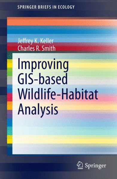
Geographic Information Systems (GIS) provide a powerful tool for the investigation of species-habitat relationships and the development of wildlife management and conservation programs. However, the relative ease of data manipulation and analysis using GIS, associated landscape metrics packages, and sophisticated statistical tests may sometimes cause investigators to overlook important species-habitat functional relationships. Additionally, underlying assumptions of the study design or technology may have unrecognized consequences. This volume examines how initial researcher choices of image resolution, scale(s) of analysis, response and explanatory variables, and location and area of samples can influence analysis results, interpretation, predictive capability, and study-derived management prescriptions. Overall, most studies in this realm employ relatively low resolution imagery that allows neither identification nor accurate classification of habitat components. Additionally, the landscape metrics typically employed do not adequately quantify component spatial arrangement associated with species occupation. To address this latter issue, the authors introduce two novel landscape metrics that measure the functional size and location in the landscape of taxon-specific ‘solid’ and ‘edge’ habitat types. Keller and Smith conclude that investigators conducting GIS-based analyses of species-habitat relationships should more carefully 1) match the resolution of remotely sensed imagery to the scale of habitat functional relationships of the focal taxon, 2) identify attributes (explanatory variables) of habitat architecture, size, configuration, quality, and context that reflect the way the focal taxon uses the subset of the landscape it occupies, and 3) match the location and scale of habitat samples, whether GIS- or ground-based, to corresponding species’ detection locations and scales of habitat use.
Geographic Information Systems (GIS) provide a powerful tool for the investigation of species-habitat relationships and the development of wildlife management and conservation programs. However, the relative ease of data manipulation and analysis using GIS, associated landscape metrics packages, and sophisticated statistical tests may sometimes cause investigators to overlook important species-habitat functional relationships. Additionally, underlying assumptions of the study design or technology may have unrecognized consequences. This volume examines how initial researcher choices of image resolution, scale(s) of analysis, response and explanatory variables, and location and area of samples can influence analysis results, interpretation, predictive capability, and study-derived management prescriptions. Overall, most studies in this realm employ relatively low resolution imagery that allows neither identification nor accurate classification of habitat components. Additionally, the landscape metrics typically employed do not adequately quantify component spatial arrangement associated with species occupation. To address this latter issue, the authors introduce two novel landscape metrics that measure the functional size and location in the landscape of taxon-specific ‘solid’ and ‘edge’ habitat types. Keller and Smith conclude that investigators conducting GIS-based analyses of species-habitat relationships should more carefully 1) match the resolution of remotely sensed imagery to the scale of habitat functional relationships of the focal taxon, 2) identify attributes (explanatory variables) of habitat architecture, size, configuration, quality, and context that reflect the way the focal taxon uses the subset of the landscape it occupies, and 3) match the location and scale of habitat samples, whether GIS- or ground-based, to corresponding species’ detection locations and scales of habitat use.


