Home
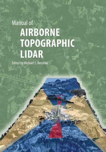
Manual of AIRBORNE TOPOGRAPHIC LIDAR
Barnes and Noble
Loading Inventory...
Manual of AIRBORNE TOPOGRAPHIC LIDAR in Franklin, TN
Current price: $150.00

Barnes and Noble
Manual of AIRBORNE TOPOGRAPHIC LIDAR in Franklin, TN
Current price: $150.00
Loading Inventory...
Size: Hardcover
Most geospatial practitioners agree that lidar (light detection and ranging) is the most significant mapping technology to emerge in the last several years. At first, processing lidar data to map the bare earth appeared to be the prime use of this technology, but having millions or billions of natively 3D, georeferenced points has fundamentally changed the perception of the service providers and the user community. Professionals in forestry, civil engineering, geology, geography, wetlands analysis, natural disaster response, flood plain mapping, and urban planning have embraced lidar as their data source of choice. The ASPRS Manual of Airborne Topographic Lidar covers all the relevant topics relating to the science behind lidar systems, mission planning, data collection and management, quality control/quality assurance, and product development. Selected topics are discussed in-depth for the Global Navigation Satellite System, Full Waveform Lidar, Digital Terrain Modeling using GIS, Rotary-Wing and Fixed-Wing Installations, Calibration, Flood Prone Area Mapping, Hydro-enforcement, Building Feature Extraction, Transportation Engineering, Natural Hazards Mapping, and Airport Surveying. Lidar experts from industry and academia have contributed to ten chapters and four appendices that serve as a reference book to document how this technology developed, and introduce new sensors and applications. There is emphasis on "best practices" and real-world solutions for the lidar data and product users. Also, since quality control and quality assurance are so critical to a successful data collection, processing, and validation, the reader will find several subchapters to support QA/QC throughout the Manual. New lidar technologies are presented for 3D Flash Lidar and Geiger-mode lidar. The performance of these systems is explained in detail with examples of applications and processing lidar data in real-time for on-site decision-making. The contributing authors are leading experts who are sharing the results of many years of work pioneering lidar technology and taking it to the forefront of geospatial data and analysis. Their experiences and solutions will be of great benefit to professionals, researchers, technologists, and students.
Most geospatial practitioners agree that lidar (light detection and ranging) is the most significant mapping technology to emerge in the last several years. At first, processing lidar data to map the bare earth appeared to be the prime use of this technology, but having millions or billions of natively 3D, georeferenced points has fundamentally changed the perception of the service providers and the user community. Professionals in forestry, civil engineering, geology, geography, wetlands analysis, natural disaster response, flood plain mapping, and urban planning have embraced lidar as their data source of choice. The ASPRS Manual of Airborne Topographic Lidar covers all the relevant topics relating to the science behind lidar systems, mission planning, data collection and management, quality control/quality assurance, and product development. Selected topics are discussed in-depth for the Global Navigation Satellite System, Full Waveform Lidar, Digital Terrain Modeling using GIS, Rotary-Wing and Fixed-Wing Installations, Calibration, Flood Prone Area Mapping, Hydro-enforcement, Building Feature Extraction, Transportation Engineering, Natural Hazards Mapping, and Airport Surveying. Lidar experts from industry and academia have contributed to ten chapters and four appendices that serve as a reference book to document how this technology developed, and introduce new sensors and applications. There is emphasis on "best practices" and real-world solutions for the lidar data and product users. Also, since quality control and quality assurance are so critical to a successful data collection, processing, and validation, the reader will find several subchapters to support QA/QC throughout the Manual. New lidar technologies are presented for 3D Flash Lidar and Geiger-mode lidar. The performance of these systems is explained in detail with examples of applications and processing lidar data in real-time for on-site decision-making. The contributing authors are leading experts who are sharing the results of many years of work pioneering lidar technology and taking it to the forefront of geospatial data and analysis. Their experiences and solutions will be of great benefit to professionals, researchers, technologists, and students.


