Home
Montana/Wyoming Easy to Read
Barnes and Noble
Loading Inventory...

Montana/Wyoming Easy to Read in Franklin, TN
Current price: $9.99
Barnes and Noble
Montana/Wyoming Easy to Read in Franklin, TN
Current price: $9.99
Loading Inventory...
Size: OS
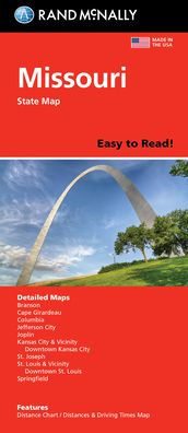
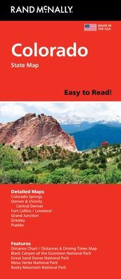
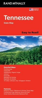
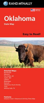
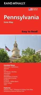
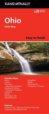
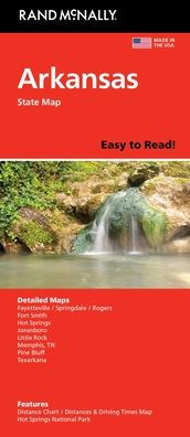
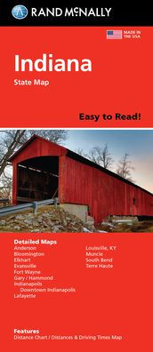
Rand McNally's Easy To Read State Folded Map is a must-have for anyone traveling in and around Montana and Wyoming, offering unbeatable accuracy and reliability at a great price. Our trusted cartography shows all Interstate, U.S., state, and county highways, along with clearly indicated parks, points of interest, airports, county boundaries, and streets. The easy-to-use legend and detailed index make for quick and easy location of destinations. You'll see why Rand McNally folded maps have been the trusted standard for years. - Regularly updated, full-color maps. - 48% larger map with a bigger type size than the Rand McNally Folded Map. - Clearly labeled Interstate, U.S., state, and county highways. - Indications of parks, points of interest, airports, county boundaries, and more. - Mileage and driving times map. - Detailed index. - Convenient folded size. Coverage Area Detailed maps of: Billings, MT; Butte, MT; Casper, WY; Cheyenne, WY; Great Falls, MT; Helena, MT; Missoula, MT; Waterton-Glacier International Peace Park, Yellowstone/Grand Teton National Parks. Product Details: Dimensions (unfolded): 28" x 40".
Rand McNally's Easy To Read State Folded Map is a must-have for anyone traveling in and around Montana and Wyoming, offering unbeatable accuracy and reliability at a great price. Our trusted cartography shows all Interstate, U.S., state, and county highways, along with clearly indicated parks, points of interest, airports, county boundaries, and streets. The easy-to-use legend and detailed index make for quick and easy location of destinations. You'll see why Rand McNally folded maps have been the trusted standard for years. - Regularly updated, full-color maps. - 48% larger map with a bigger type size than the Rand McNally Folded Map. - Clearly labeled Interstate, U.S., state, and county highways. - Indications of parks, points of interest, airports, county boundaries, and more. - Mileage and driving times map. - Detailed index. - Convenient folded size. Coverage Area Detailed maps of: Billings, MT; Butte, MT; Casper, WY; Cheyenne, WY; Great Falls, MT; Helena, MT; Missoula, MT; Waterton-Glacier International Peace Park, Yellowstone/Grand Teton National Parks. Product Details: Dimensions (unfolded): 28" x 40".