Home
Northern Eurasia in Medieval Cartography: Inventory, Texts, Translation, and Commentary
Barnes and Noble
Loading Inventory...
Northern Eurasia in Medieval Cartography: Inventory, Texts, Translation, and Commentary in Franklin, TN
Current price: $75.00

Barnes and Noble
Northern Eurasia in Medieval Cartography: Inventory, Texts, Translation, and Commentary in Franklin, TN
Current price: $75.00
Loading Inventory...
Size: OS
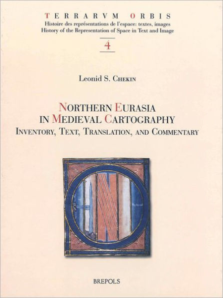
Scythia and the islands in the ocean, the farthest northern and northeastern regions of the world known to ancient and medieval geographers, roughly correspond to modern-day Scandinavia, Russia, eastern Europe, and central Asia. Those areas figured prominently in cartography of the Middle Ages. The mythical island of Scandza, the land of the Amazons, the apocalyptic tribes of Gog and Magog, and other traditional symbols of chaos and barbarity existed side by side and often merged with new knowledge about people, cities, and states. The book, originally published in Russian as Kartografiia khristianskogo srednevekovia (Moscow: Vostochnaia literatura, 1999), offers an analysis of 198 Western European and Byzantine maps that date between the eighth and thirteenth centuries and contain information about the north and northeast of the inhabited world. The maps are divided into fifteen groups. Each group of maps is discussed in its separate chapter and all the relevant place names and other legends on the maps are transcribed and translated into English. Included in the book are comprehensive glossaries, which comprise the names of persons, places, ethnicities, and animals, and provide commentaries on the cartographic legends. The book features reproductions of individual maps and their details.
Scythia and the islands in the ocean, the farthest northern and northeastern regions of the world known to ancient and medieval geographers, roughly correspond to modern-day Scandinavia, Russia, eastern Europe, and central Asia. Those areas figured prominently in cartography of the Middle Ages. The mythical island of Scandza, the land of the Amazons, the apocalyptic tribes of Gog and Magog, and other traditional symbols of chaos and barbarity existed side by side and often merged with new knowledge about people, cities, and states. The book, originally published in Russian as Kartografiia khristianskogo srednevekovia (Moscow: Vostochnaia literatura, 1999), offers an analysis of 198 Western European and Byzantine maps that date between the eighth and thirteenth centuries and contain information about the north and northeast of the inhabited world. The maps are divided into fifteen groups. Each group of maps is discussed in its separate chapter and all the relevant place names and other legends on the maps are transcribed and translated into English. Included in the book are comprehensive glossaries, which comprise the names of persons, places, ethnicities, and animals, and provide commentaries on the cartographic legends. The book features reproductions of individual maps and their details.


