Home
Relief Map of the Holy Land: Then and Now Wall Chart
Barnes and Noble
Loading Inventory...
Relief Map of the Holy Land: Then and Now Wall Chart in Franklin, TN
Current price: $16.99
Barnes and Noble
Relief Map of the Holy Land: Then and Now Wall Chart in Franklin, TN
Current price: $16.99
Loading Inventory...
Size: OS
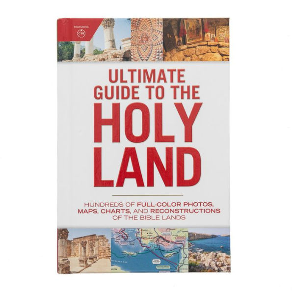
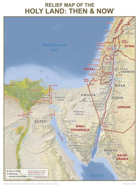
This large, classroom-size “
Then and Now
” Relief Map is unlike any other Holy Land map of its kind!
Easily see where Bible places are located today with its red “Then and Now” boundary lines—and enjoy its stunning detailed relief of the Holy Land’s mountains, valleys, rivers, deserts, and more. Perfect for Bible studies, Sunday school lessons, homeschool curriculum, and to display in your classroom, church hallway, or office.
Usually, the information included on this Bible map is shown on two separate maps—but for the first time ever Rose has combined this useful information onto one Bible wall map. Red print shows the major cities and boundaries of modern countries.
This stunning Bible relief map will enrich your understanding of key Bible stories, such as the Exodus, as its shows the rough terrain of the Holy Land! It’s clear, easy-to-read font makes it easy to identify key Bible places and important geographical markers, including key bodies of water, key mountains, and key wildernesses.
Size: 19.5” x 26”, heavy chart paper. Laminated for durability. Write on it with water soluble markers and easily wipe marks off. Use “wet-erase” markers to show the route of the Exodus and other travels of the Patriarchs! Reproducible handout on the back.