Home
The John Muir Trail
Barnes and Noble
Loading Inventory...
The John Muir Trail in Franklin, TN
Current price: $24.95
Barnes and Noble
The John Muir Trail in Franklin, TN
Current price: $24.95
Loading Inventory...
Size: Paperback
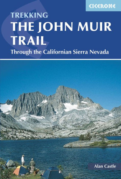
A guidebook to trekking the John Muir Trail (JMT) from Happy Isles in Yosemite Valley to the summit of Mount Whitney and onto the trailhead at Whitney Portal. Covering 348km (216 miles), this long-distance trek through the Sierra Nevada mountains of California takes around 3 weeks to hike and is suitable for hikers with experience in remote high-mountain wilderness.
The route is described from north to south in 21 stages, each between 11 and 26km (7–16 miles). An optional ascent of Half Dome is also included, which involves some easy scrambling and requires a good head for heights.
Sketch maps
included for the route
Ascent, descent and distance tables
included for all stages
Lists of
camp areas, ranger stations and bear box locations
Advice on
trekking permits, transport to and from the trailheads, equipment, food and supplies, training
Route travels through
3 national parks
: Yosemite, Kings Canyon and Sequoia