Home
Vegetation Classification and Mapping at Upper Delaware Scenic and Recreational River
Barnes and Noble
Loading Inventory...
Vegetation Classification and Mapping at Upper Delaware Scenic and Recreational River in Franklin, TN
Current price: $20.99
Barnes and Noble
Vegetation Classification and Mapping at Upper Delaware Scenic and Recreational River in Franklin, TN
Current price: $20.99
Loading Inventory...
Size: OS
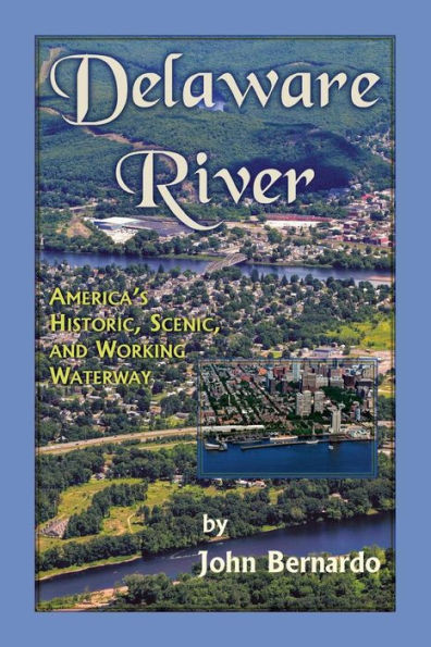
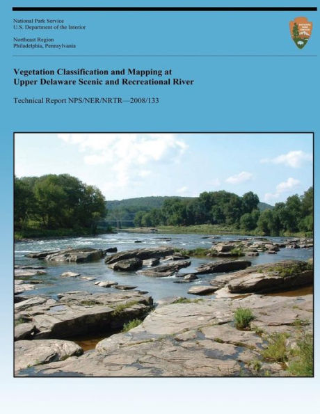
Vegetation classification and mapping was conducted at Upper Delaware Scenic and Recreational River, creating a current digital geospatial vegetation database for the park. Fifty vegetation associations and 14 Anderson Level II land use categories that occur within the park were identified and described in detail. Two communities found within the park, Sparsely Vegetated Cliff and Southern New England Bog, could not be mapped but are included in the descriptions. Many of the vegetation types are strongly influenced by the varied environmental settings and land use history of the park.
Vegetation classification and mapping was conducted at Upper Delaware Scenic and Recreational River, creating a current digital geospatial vegetation database for the park. Fifty vegetation associations and 14 Anderson Level II land use categories that occur within the park were identified and described in detail. Two communities found within the park, Sparsely Vegetated Cliff and Southern New England Bog, could not be mapped but are included in the descriptions. Many of the vegetation types are strongly influenced by the varied environmental settings and land use history of the park.