Home
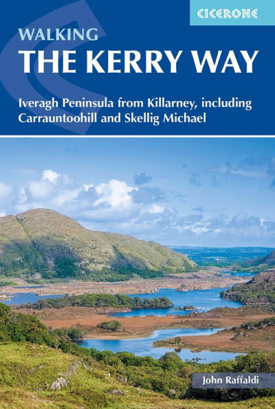
Walking the Kerry Way: Iveragh Peninsula from Killarney, including Carrauntoohill and Skellig Michael
Barnes and Noble
Loading Inventory...
Walking the Kerry Way: Iveragh Peninsula from Killarney, including Carrauntoohill and Skellig Michael in Franklin, TN
Current price: $27.95
Barnes and Noble
Walking the Kerry Way: Iveragh Peninsula from Killarney, including Carrauntoohill and Skellig Michael in Franklin, TN
Current price: $27.95
Loading Inventory...
Size: Paperback
A guidebook to walking Ireland’s Kerry Way. Covering 190km (117 miles), this circular route from Killarney takes around 10 days to hike and is suitable for walkers of most abilities.
The route is described anti-clockwise in 10 stages of between 13 and 25km (8– 16 miles). Also included are a number of side-trips in the area, including an ascent of Carrauntoohil (Ireland’s highest mountain), the Cnoc na dTobar pilgrim’s path and a marine landing on UNESCO-listed Skellig Michael.
1:50,000 maps
included for each stage Handy
route summary tables
and
accommodation listings
help you plan your itinerary
Refreshment and accommodation
information given for each trek stage Advice on
planning and preparation
GPX files
available to download